


_140x140_exact_images-sliders-Cartographie-Cadastre-Domaine-Foncier.png)
_140x140_exact_images-sliders-Cartographie-Cadastre-Domaine-Foncier.png)

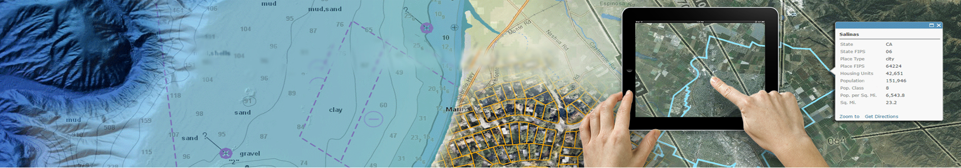
Cartography / Cadastre / Land Estate
The management of the cadastre is essential for the territorial communities. The implementation of a GIS based on this deposit of information allows both a better perception of the entire territory and greater ease of communication with all audiences.
- Integration of alphanumeric and graphical data
- The crossing of alphanumeric and graphical data
- Mono or multi-communal treatment
- Administration of the presentation of the display of themes
- The customizable personalized consultation
- Interfacing with soil law and town planning software
- Consultation through structured sheets of all DGI information,
- The edition of a town planning file or an element composing it,
- Remarks storage in the form of geographical tags,
- The storage of the cadastral history,
- The interface to most urban planning software
- Locate and describe the cadastre of the municipal territory or department by the description (graph and attribute) of plots.
- ANCFCC : National Agency for the Land Conservation of Cadastre and Cartography
- Anfa Urbanization and Development Agency
- General Direction of Town Planning and Architecture
- Direction de l'aménagement du territoire and the regional inspections
- Casablanca Urban Agency
- Directorate of Spatial Planning
- The Tangier Urban Commune (Permanent Services)
- The Tangier Urban Commune (Permanent Services)
- Oued Eddahab Aousserd Urban Agency
- Taza Urban Agency
- Taza Urban Agency
- Marrakech Urban Agency
- Marrakech Urban Agency
- Agence Urbaine de Nador
- Agence Urbaine de Rabat
- Agence de L’Oriental
- Zenata