


Mines
Discover the new frontier of mine management.
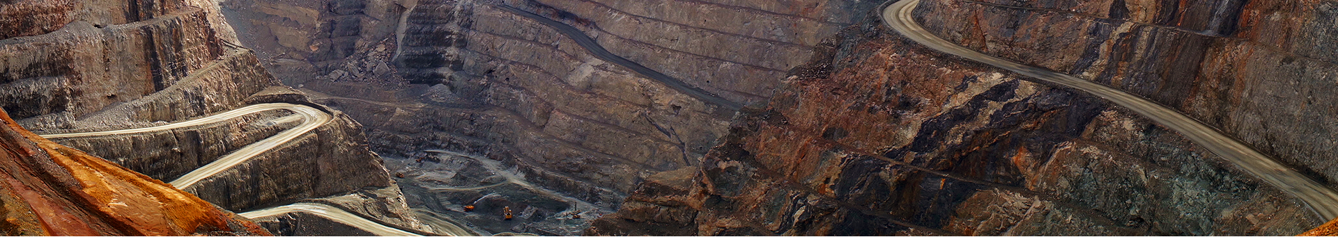
From mining exploration to mine remediation, Geomatic / Esri's technologies and development support decision-making throughout the mining life cycle. Everyone in your company can access data and use GIS for project planning, mining operations, transportation management and risk analysis. Do not miss business opportunities because your information is scattered throughout the company. Use the Esri platform to gather information so you can analyze it in a geographic context, discover new leads and develop new perspectives.
- ONHYM : National Office of Hydrocarbons and Mines
- State Secretariat at the Ministry of Energy, Mines, Water and Environment
- Direction of Geology
- MANAGEM
- OCP group
Renewable energies
Wind, solar, geothermal, biomass are natural energies that generate little or no waste or polluting emissions. Their use makes it possible to optimize the management of local resources and to propose an alternative to fossil fuels.
With GIS, the development of renewable energies offers vast fields of application. GIS will help each of the new energy sectors, prospect new deposits, manage the integration of projects in the environment and optimize the exploitation of these new resources and infrastructures.
With ArcGIS you can :
- Quantify and locate resources and needs,
- Produce analyzes and results of decision support,
- Identify sites with high energy potential,
- To propose zones of development of power stations, solar or wind parks ...
- Create maps to communicate, raise awareness, learn and value.
- MASEN
- The renewable energy and energy efficiency department