


Defense and Security
Geography affects most defense decisions.
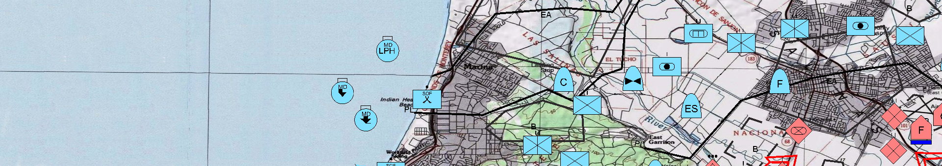
The military relies on geospatial awareness for virtually every aspect of operations. Geospatial information plays a strategic role in mission command, intelligence, surveillance, reconnaissance, management of training space and mission support. Geomatic / Esri provides geospatial solutions to meet the needs of the armed forces. With our technology, you can quickly visualize information, perform analysis and make better and faster decisions.
Members of your community trust you to keep them safe. Trust the GIS to do it right with smarter management of the situation.
- Royal Gendarmerie
- Parachute Infantry Brigade
- Royal Center for Remote Sensing Space
- Superior Council of National Defense
- Land Force
- Air Force
- Royal Navy