


Waters
Develop a sustainable water service...
The analysis and data management through our platform will allow you to better understand and optimize all operations related to water management. Integrate information from various installed sensors that will be processed and analyzed through the use of GIS technology that will allow you to locate and track the status of your installations.
- Directorate of Research and Water Planning
- O.N.E.E.E (Water Direction)
- Independent Water and Electricity Distribution Board of Meknes (RADEM)
- Directorate General of Hydraulics
- Oum Errabia Hydraulic Basin Agency
- Hydraulic Basin Agency from Sebou to Fes
- Hydraulic Basin Agency of Loukkous
- Hydraulic Basin Agency of Bouregreg and Chaouia
- Hydraulic Basin Agency of Souss
- Tensift Hydraulic Basin Agency
- Hydraulic Basin Agencies of Guir-Ghris-Ziz
- Hydraulic Basin Agencies El Hamra- Oued Eddahab
- Hydraulic Basin Agencies Souss massa and Draa-Agadir
Forest
Better management of our forests ...
The understanding of the forest is complex, dynamic and multidimensional. GIS technology has a profound and positive impact on land management, timber management and the stewardship of forest resources. Geomatic / Esri will help you better understand the science, economics and social principles established on our forests. You will take better care of your forests, achieve your goals and meet the regulatory reporting requirements. Use ArcGIS technology to improve inventory, land administration, sustainable forest planning, wood management and more.
- Integrated Forest Management Project of the Middle Atlas
- Forestry School of Salé
- High Commissioner for Water and Forests
Agriculture
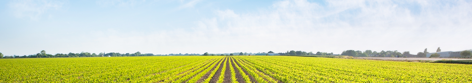
To maximize the benefits and maximize your yield, you need to focus the right crops and equipment where they can thrive. At the topsoil level, GIS allows farmers to increase production, reduce costs and manage their land more efficiently. With Geomatic / Esri you can integrate high-resolution images, field observations and real-time data feeds to understand how to get the most out of your resources at any time. Organize your production information and manage your land more efficiently with GIS.
Some areas of use of GIS :
- Government : Grant Control, Data Management, Parcel Management...
- Supplies for the agricultural sector : Risk analysis, Distribution network...
- Agri-Food Sector : Procurement, Traceability, Market Data...
- ORMVA Haouz
- Provincial Directorate of Agriculture of Figuig
- Provincial Directorate of Agriculture of Khouribga
- Regional Office for Agricultural Development of Tadla
- IAV : Agronomic and Veterinary Institute HASSAN II
- ORMVA TAFILALET : Regional Office of Agricultural Development
- ORMVA GHARB : Regional Office of Agricultural Development
- DPA FES : Provincial Directorate of Agriculture
- DPA Chefchaouen : Provincial Directorate of Agriculture
- DPA Khemisset : Provincial Directorate of Agriculture
- DPA Taounate : Provincial Directorate of Agriculture
- Regional Office of Agricultural Development of Tafilalet
Fishing
Analyze our oceans...
Scientists, resource managers, and curators need to understand the negative impacts on the marine and coastal environments so that they can answer different questions. With Geomatic / Esri, you can develop a successful ocean policy and sustainable ocean practices. More than just simple maps, ArcGIS software helps you analyze data, conduct research, manage fisheries, facilitate planning processes, and more.
- INRH
- WEP