Capacities
ArcGIS gives you unique features for better, more effective and relevant analysis. Get more information by using contextual mapping tools to analyze and visualize your data. Then share the results of your analyzes and recommend your organization on the best decisions to make.
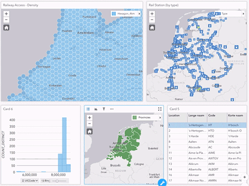
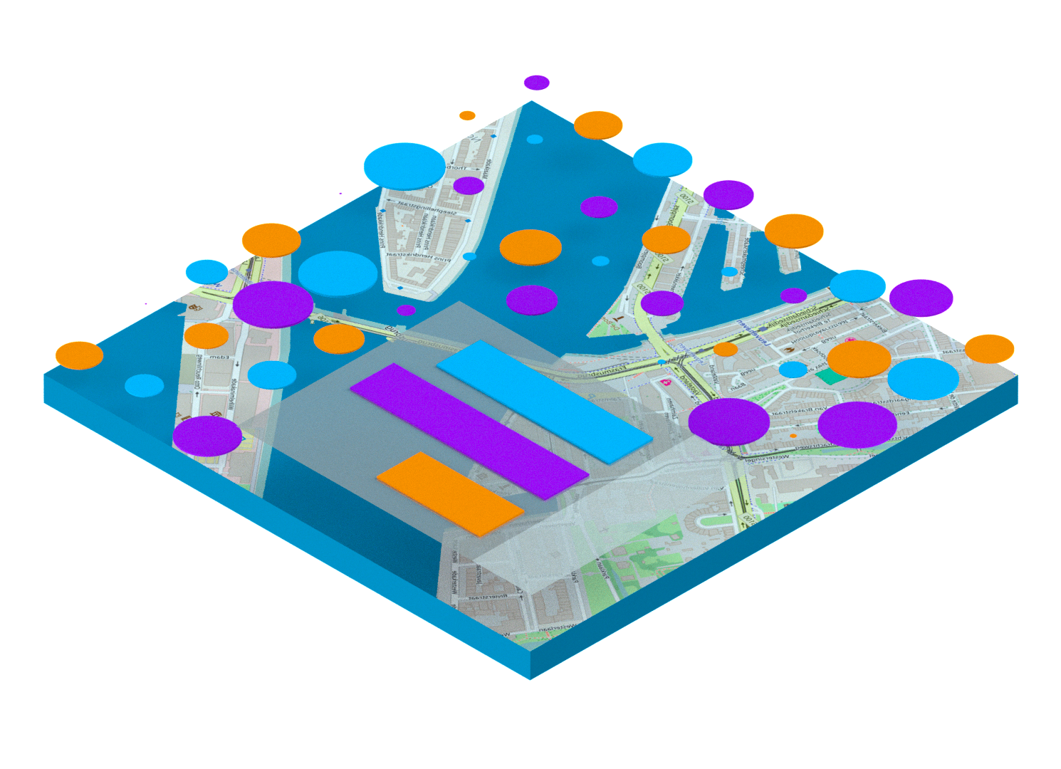
Spatial analysis.
Spatial analysis is the heart and soul of ArcGIS. Using ArcGIS will help you find the best location for your business, plan and grow smarter communities, and respond more quickly to critical situations.
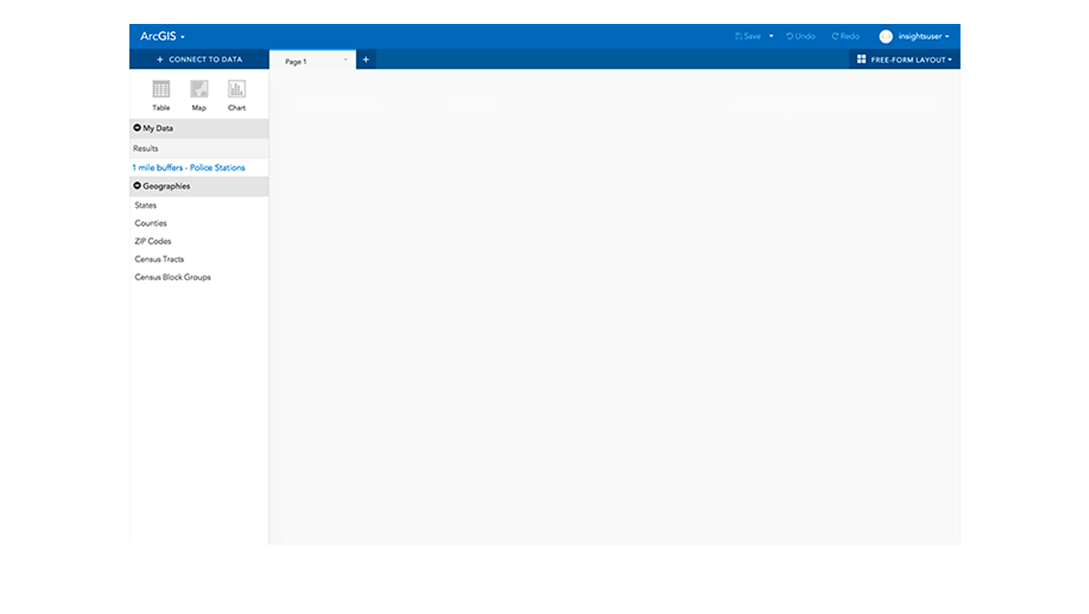
Visualise your data intelligently.
Maps help you locate spatial patterns of your data so you can make better decisions. ArcGIS lets you create, use, and share your analytics using high-quality, interactive maps on any device.
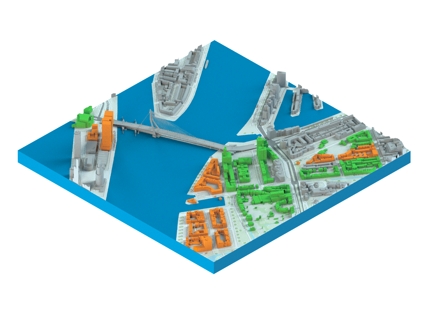
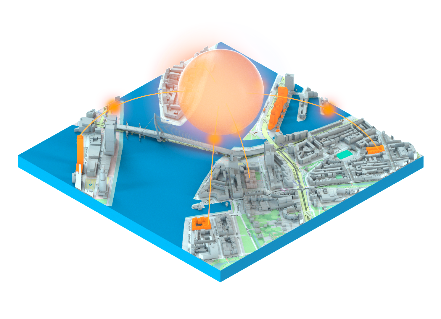
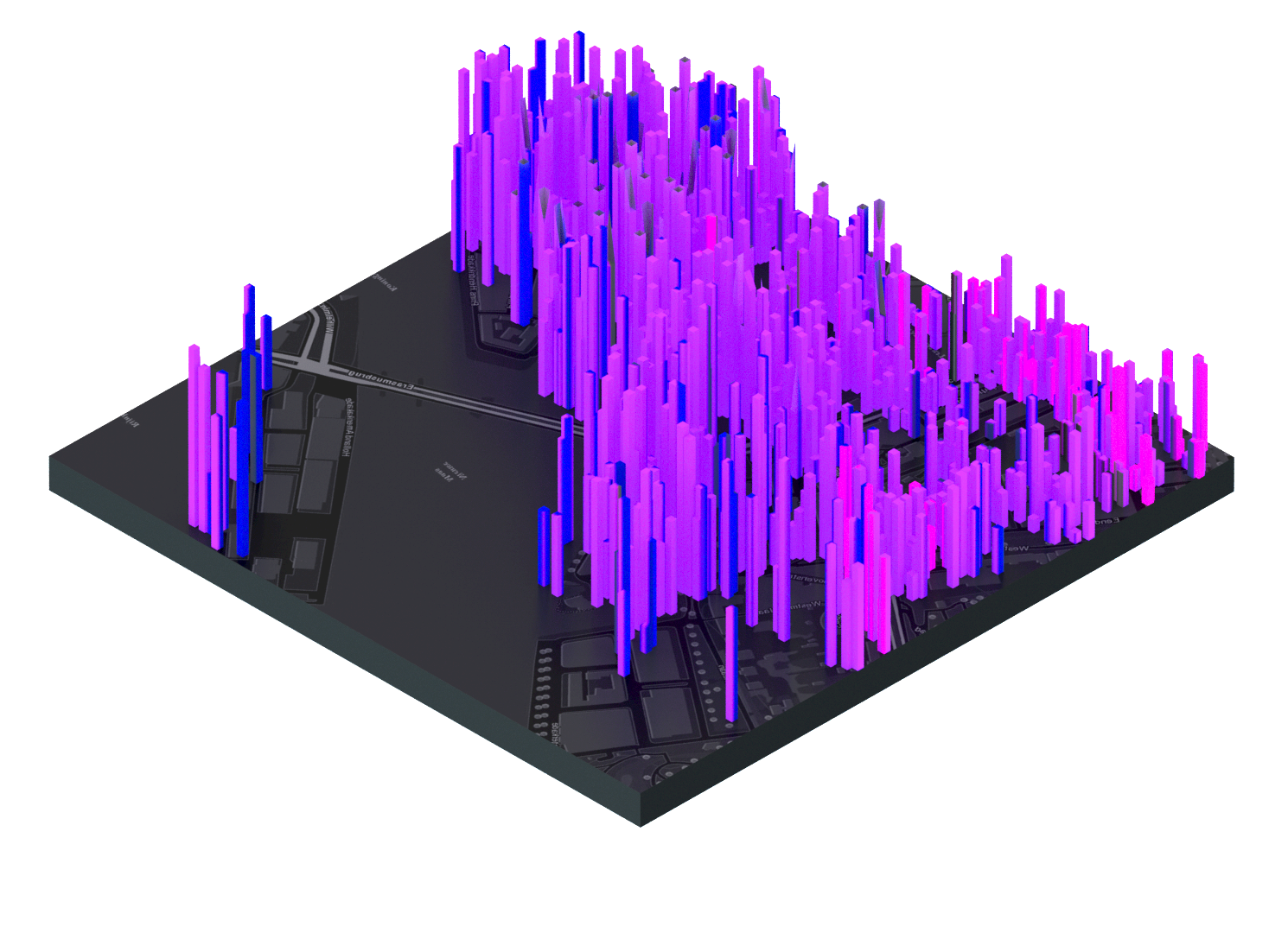
GIS visualization in 3D.
The 3D GIS brings you a new real vision to your maps and data. Instantly transform your data into intelligent 3D visualization and modeling, which will help you analyze, solve problems and share ideas and concepts with your team and your customers.
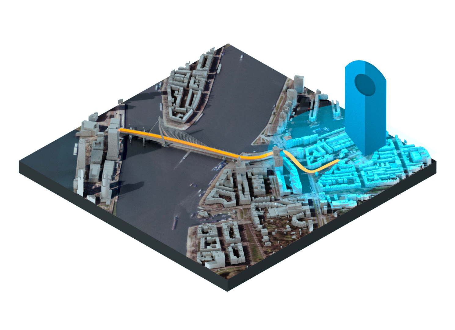
Analysis and visualization of data in real time.
Real-time analysis and visualization of your data will allow you to constantly monitor the location of any type of sensor or device. Real-time tracking allows you to speed up the response time of your operations, optimize security, and improve tracking of dynamic assets and stationary assets.
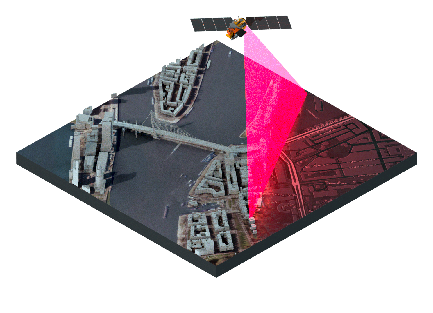
Imaging and remote sensing.
ArcGIS gives you everything you need to manage, process, analyze, and share images. Not only do you get access to the largest collection of images in the world, but you can also use your capture via satellite, antenna, drone and from moving video.